 |
Fort-Garland
is a small community located in south-central Colorado. As of the 2010 census, the population was 433 residents. Although small, the town is noted for being the "Gateway to the San Luis Valley," and is home to many artists, crafters and musicians. The imposing 14, 345-foot Mount Blanca looms over the town, which is the first one reaches after traveling over the La Veta Pass from the Colorado Front Range. Fort Garland consists of the Old Fort Market grocery store, several restaurants, two motels, a couple of gas stations and other businesses, and several antiques and collectibles shops. The town is most known for the historic Fort Garland, built in 1858 to protect settlers in the San Luis Valley, which was then a territory of New Mexico. The fort was abandoned in 1883 and today houses the Fort Garland Museum. Fort Garland is also home to the annual Band Jam Music Festival, usually held in July, and featuring local, regional and national and international musicians. Other attractions near Fort Garland include the Cumbres & Toltec Scenic Railroad, Great Sands Dunes National Park and the Shrine of the Stations of the Cross. Fort Garland sits at the crossroads of Highways 160 and 159, which is a popular southbound route to Taos and Santa Fe, New Mexico.

|
Fort Garland Vacation Rentals
|

|
|
|
|
|
Fort Garland Hotels and Resorts
|
|
|
| | | Hotels & Motels |
| Fort Garland Motor Inn | 411 Hwy 160 | Fort Garland, CO | | (719) 379-2993 | | Clarion Hotel Of The Rio Grande | 333 Santa Fe Ave | Alamosa, CO | 23.3 mi. | (719) 589-5833 | | Comfort Inn Of Alamosa | 6301 Rd 107 S | Alamosa, CO | 24.1 mi. | (719) 587-9000 | | Holiday Inn Express Hotel & Suites | 3418 Mariposa St | Alamosa, CO | 24.1 mi. | (719) 589-4026 | | Comfort Inn | 0182 E Frontage Rd | South Fork, CO | 24.7 mi. | (719) 873-5600 |

|
Fort Garland Weather & Climate
|

|
|
|
South-central is a complex mix of mountains and desert. Since Colorado is a mid-latitude interior continental state, and has the highest elevations in the United States, weather can change dramatically from place to place. Southern Colorado is not always warmer than the northern part of the state, due to the elevation. Generally, the mountainous areas are cooler and wetter than lower elevations. Winters are cold and snowy, and summers are warm with temperatures in the 70s and 80s. Nights anytime of the year can be crisp in Colorado. Humidity is usually not a problem. Southern Colorado receives 300 days of sunshine per year. So, although there is plenty of snow in the wintertime, except at the highest elevations, it usually melts by mid-day.
|
| Month |
High Temp |
Low Temp |
Rainfall |
Ocean Temp |
| January |
34°F |
1°F |
0.32 in. |
- |
| February |
40°F |
9°F |
0.31 in. |
- |
| March |
48°F |
19°F |
0.58 in. |
- |
| April |
57°F |
25°F |
0.64 in. |
- |
| May |
66°F |
34°F |
1.00 in. |
- |
| June |
77°F |
42°F |
0.73 in. |
- |
| July |
81°F |
48°F |
1.44 in. |
- |
| August |
78°F |
46°F |
1.50 in. |
- |
| September |
72°F |
37°F |
1.01 in. |
- |
| October |
61°F |
26°F |
0.79 in. |
- |
| November |
46°F |
13°F |
0.58 in. |
- |
| December |
35°F |
3°F |
0.33 in. |
- |

|
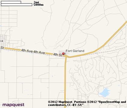
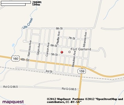
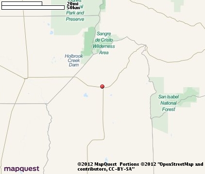
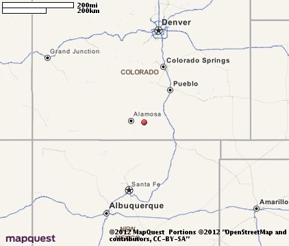
Fort Garland Map & Transportation
|

|
|
 |
|
|
| Click each thumbnail image to enlarge. |
 |
|
 |
 |
The closest airports in the area are San Luis Valley Regional Bergman Field (ALS) located about 23 miles west of Fort Garland in Alamosa, Colorado, the Silver West airport (C08) located approximately 40 miles north of Fort Garland in Westcliffe, Colorado, the Leach airport (1V8) located roughly 41 miles northwest of Fort Garland in Center, Colorado, and finally the Angel Fire airport (AXX) located around 70 miles south of Fort Garland in Angel Fire, New Mexico.
|

|
Fort Garland Attractions
|

|
|
| | | Golf Courses |
| Cattails Golf Club | Alamosa | CO | 23.5 mi. | | | Grandote Peaks Golf Club | La Veta | CO | 24.3 mi. | |
| | | Ski Areas |
| Red River Ski Area | Red River | NM | 49.8 mi. | | | Angel Fire | Angel Fire | NM | 72.0 mi. | | | Sipapu Ski Area | Vadito | NM | 86.5 mi. | | | Pajarito Mountain | Los Alamos | NM | 116.9 mi. | |
| | | State Parks |
| Lathrop State Park | | CO | 34.6 mi. | |
| | | Zoos and Aquariums |
| Pueblo Zoo | Pueblo | CO | 72.7 mi. | | | Cheyenne Mountain Zoological Park | Colorado Springs | CO | 102.6 mi. | |
Notice a problem with the information on this page? Please notify us.
|
Disclaimer: We recommend you conduct your own research regarding all accomodations and attractions found on this website. The distances shown on this website are straight-line distances as the crow flies. The road distance may be considerably longer. You assume all liability for use of any information found on this website. No information is confirmed or warranted in any way. By using our services you agree to the terms and conditions of this disclaimer.
|
| We are the #1 site for your Colorado Vacation presenting Colorado vacation rentals, hotels, weather and map for each city. |
Colorado Vacation .org
©1997-2025 All Rights Reserved.
|
|